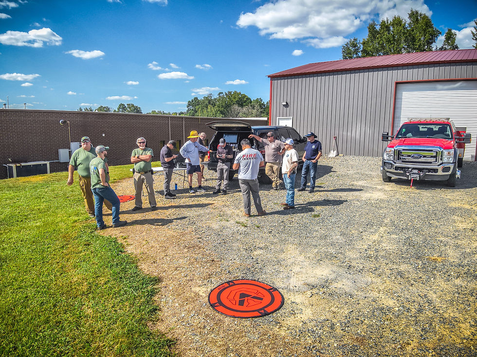
Using Public Safety Drones for Mapping Natural Disasters and Large Scale Events
- Darkwing Drones
- Jun 8
- 1 min read
This short video highlights how drone mapping can be a powerful tool for public safety operations during large-scale incidents and natural disasters. In it, I cover the fundamentals of conducting a basic mapping flight and demonstrate how to use Pix4Dreact to process images into a 2D orthomosaic, as well as create 3D maps using Pix4Dcloud.


